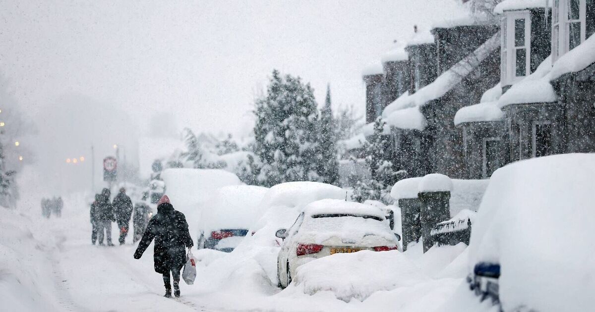

A new wave of wintry conditions is poised to arrive across portions of the UK this weekend, bringing snow, rain and powerful winds from Saturday until Monday.
Whilst a large part of Britain will experience unsettled weather, predictions indicate certain regions may witness snowfall as cooler air moves in before clearer, showery conditions take over.
The Met Office states rainfall will affect "central and southern England and Wales" on Friday, with downpours most intense in western areas later. "Brighter elsewhere with a few showers. Mild, with mostly gentle winds," the Friday forecast states.
Ensure our latest headlines always appear at the top of your Google Search by making us a Preferred Source. Click here to activate or add us as your Preferred Source in your Google search settings.
The Met Office's outlook from Saturday to Monday indicates "rain and some hill snow" will travel "eastwards" on Saturday. There will otherwise be sunshine "with showers arriving from the west."
It states: "Windy with some rain on Sunday, then brighter and showery on Monday."
BBC Weather states Friday will "start cloudy" with "lingering patches of rain". Most locations will be "dry with sunny spells" as cloud clears during the afternoon.
"There will be a few showers locally in the north and west," the BBC forecast states. For Saturday through to Monday, BBC weather experts predict: "Saturday will be largely dry and sunny, but the south-east may see showers in the morning. Western areas will turn cloudier later in the afternoon with the odd shower.
"Sunday will be a cloudy and windy day with rain in the north-west, but it will stay largely dry elsewhere. Monday will be cloudy in the north and west with rain at times. Drier and brighter in the south and east."
Looking beyond this period, the Met Office indicates further snowfall could arrive in certain areas during March. Nevertheless, wintry precipitation is anticipated to remain limited to northern elevated terrain.
The Met Office outlook for March 3 to 12 indicates: "Much of this period looks like being largely dominated by high pressure, especially towards the south or southeast of the UK.
"This will mean many places seeing plenty of dry weather with variable cloud amounts and some sunshine, the best of this towards the south or southeast, but perhaps with some fog overnight.
"However, frontal systems are still likely to affect the north and west of the UK at times though, maybe also briefly affecting other parts, bringing some rain and strong winds, and perhaps a little snow to the high ground in the north. Temperatures will be near or above normal, although patchy overnight frost is still likely at times."